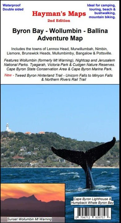
Byron Bay – Wollumbin – Ballina Adventure Map
Embark on an unforgettable adventure through the breathtaking landscapes of Byron Bay, Wollumbin Mt Warning, Ballina, and beyond, guided by the comprehensive Byron Bay – Wollumbin (formerly Mt Warning) – Ballina Adventure Map from Hayman's Maps.
This map guide is your key to exploring the enchanting regions of Byron Bay and its surrounds, including Lennox Head, Murwillumbah, Nimbin, Lismore, Brunswick Heads, Mullumbimby, Bangalow, Pottsville, Nightcap National Park, Jerusalem National Park, Tyagarah, Victoria Park & Cudgen Nature Reserve, as well as all the charming localities and Nature Reserves that lie in between.
With this map in your hands, you'll uncover a wealth of invaluable information that enhances your journey. Discover an array of walking tracks, vehicle paths, roads, estuaries, watercourses, and places of interest, allowing you to tailor your exploration to your preferences. Whether you're a hiking enthusiast seeking the best trails, an avid camper in search of ideal camping areas, or a nature lover yearning to observe the local flora and fauna, this map guide has you covered.
Intriguingly detailed, the map showcases an inset of Cape Byron and the Marine Park Sanctuary Zone, ensuring you won't miss a single highlight in this stunning coastal area.
Designed with meticulous precision, the main map is crafted at a scale of 1:50,000, providing you with a clear and accurate representation of the terrain. From the majestic heights of Wollumbin Mt Warning to the serene shores of Ballina, every detail is elegantly captured, empowering you to navigate with confidence and embark on the most enriching adventures.
This edition now includes the Tweed to Byron Hinterland Trail, Unicorn Falls to Minyon Falls, and the Northern Rivers Rail Trail.
Key Features
- Detailed tracks fully checked by Hayman Maps
- Camping areas
- GPS surveyed roads & tracks
Key Specifications
Edition: 2nd
Publication Date: 01/08/23
Scale: 1:50,000
Folded size (WxHxD): 130mm x 235mm x 4mm
Weight: 0.092kgs
Original: $10.68
-70%$10.68
$3.20Product Information
Product Information
Shipping & Returns
Shipping & Returns
Description
Embark on an unforgettable adventure through the breathtaking landscapes of Byron Bay, Wollumbin Mt Warning, Ballina, and beyond, guided by the comprehensive Byron Bay – Wollumbin (formerly Mt Warning) – Ballina Adventure Map from Hayman's Maps.
This map guide is your key to exploring the enchanting regions of Byron Bay and its surrounds, including Lennox Head, Murwillumbah, Nimbin, Lismore, Brunswick Heads, Mullumbimby, Bangalow, Pottsville, Nightcap National Park, Jerusalem National Park, Tyagarah, Victoria Park & Cudgen Nature Reserve, as well as all the charming localities and Nature Reserves that lie in between.
With this map in your hands, you'll uncover a wealth of invaluable information that enhances your journey. Discover an array of walking tracks, vehicle paths, roads, estuaries, watercourses, and places of interest, allowing you to tailor your exploration to your preferences. Whether you're a hiking enthusiast seeking the best trails, an avid camper in search of ideal camping areas, or a nature lover yearning to observe the local flora and fauna, this map guide has you covered.
Intriguingly detailed, the map showcases an inset of Cape Byron and the Marine Park Sanctuary Zone, ensuring you won't miss a single highlight in this stunning coastal area.
Designed with meticulous precision, the main map is crafted at a scale of 1:50,000, providing you with a clear and accurate representation of the terrain. From the majestic heights of Wollumbin Mt Warning to the serene shores of Ballina, every detail is elegantly captured, empowering you to navigate with confidence and embark on the most enriching adventures.
This edition now includes the Tweed to Byron Hinterland Trail, Unicorn Falls to Minyon Falls, and the Northern Rivers Rail Trail.
Key Features
- Detailed tracks fully checked by Hayman Maps
- Camping areas
- GPS surveyed roads & tracks
Key Specifications
Edition: 2nd
Publication Date: 01/08/23
Scale: 1:50,000
Folded size (WxHxD): 130mm x 235mm x 4mm
Weight: 0.092kgs