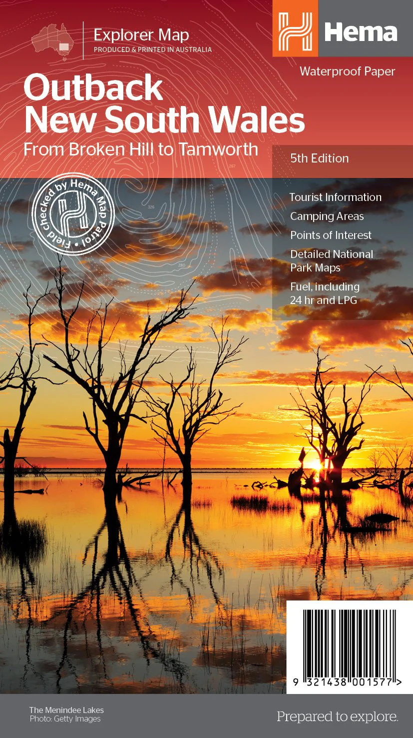


Outback New South Wales Map
Outback New South Wales Map (5th edition)
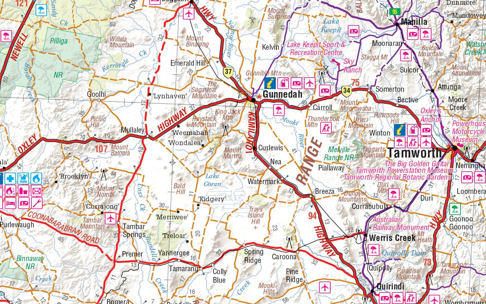
A regional map of outback NSW (1:1,100,000) that ranges from Tamworth in the east to Broken Hill in the west, as well as from Wagga Wagga in the south to past the Queensland border in the north. On the opposite side is extensive information on numerous regions, including visitor, historical and background information. Covered regions include the Broken Hill region, Corner Country, east of Tibooburra, the White Cliffs region, Cobar and surrounds, around Back o'Bourke, Lightning ridge and surrounds, Wentworth region, Balranald, Griffith region, Dubbo and surrounds, Kinchega National Park, Mungo National Park, Sturt National Park and Mutawintji National Park.
Key Features
- Detailed National Park Maps
- Tourist information
- Camping areas
- Points of interest
Key Specifications
Edition: 5th
Publication Date: 1/12/2012
Scale: 1:100,000
Folded size (WxHxD): 140mm x 250mm x 3mm
Flat size (WxH): 700mm x 1000mm
Weight: 0.09kgs
Product Information
Product Information
Shipping & Returns
Shipping & Returns
Description
Outback New South Wales Map (5th edition)
A regional map of outback NSW (1:1,100,000) that ranges from Tamworth in the east to Broken Hill in the west, as well as from Wagga Wagga in the south to past the Queensland border in the north. On the opposite side is extensive information on numerous regions, including visitor, historical and background information. Covered regions include the Broken Hill region, Corner Country, east of Tibooburra, the White Cliffs region, Cobar and surrounds, around Back o'Bourke, Lightning ridge and surrounds, Wentworth region, Balranald, Griffith region, Dubbo and surrounds, Kinchega National Park, Mungo National Park, Sturt National Park and Mutawintji National Park.
Key Features
- Detailed National Park Maps
- Tourist information
- Camping areas
- Points of interest
Key Specifications
Edition: 5th
Publication Date: 1/12/2012
Scale: 1:100,000
Folded size (WxHxD): 140mm x 250mm x 3mm
Flat size (WxH): 700mm x 1000mm
Weight: 0.09kgs